From the Western Pre-Balkan – Vratsa (Veslets)
On a relatively long and reasonably sunny day in late February, I set out to actively burn some calories through Oarfish. Meaning, the Western one Pre-Balkan.
I am curious to see what lies behind the funny, at least at first glance, names from the Vratsa region: The small pan, the rock labyrinth The pawn and the unexpected end of the adventure – the search for ancient precepts and drawings near Tsarevets.
I have been to the village itself, with its unique church and only stone iconostasis, before. But that is another story.
I had heard about God's Bridge. But what I saw exceeded all expectations.
What isn't there in little Bulgaria and how well do we know it?
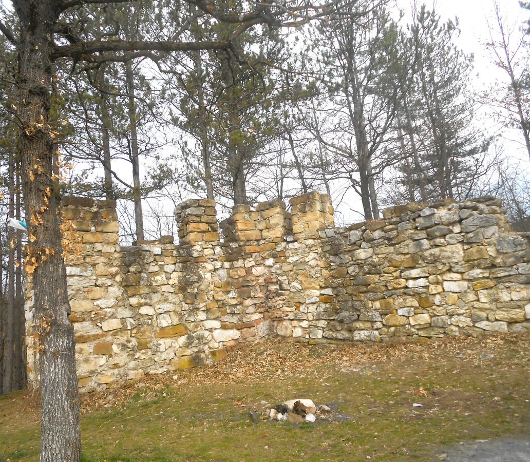
For example, the Late Antique and medieval fortress serves as our reference point Lilyashka fortress. It is erected on a rocky plateau overlooking the surrounding flat terrain, on the left bank of the Lilyashka River.
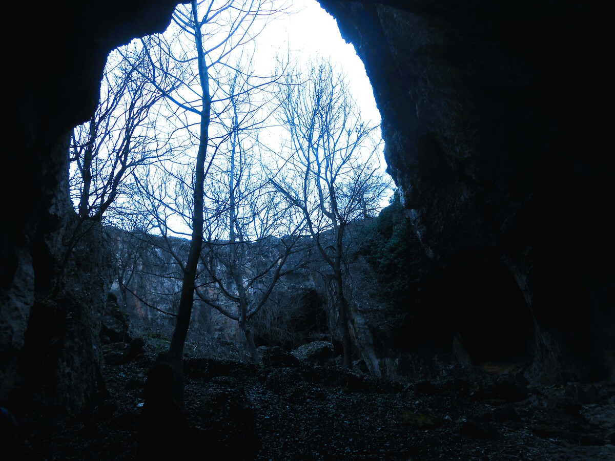
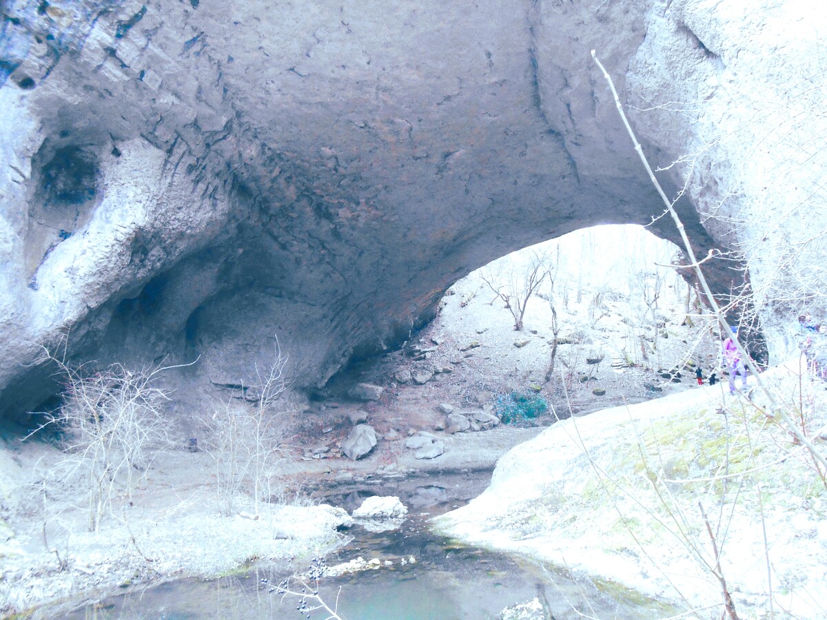
And right beneath the fortress itself is one of the largest rock bridges in Bulgaria – „God's Bridge“, under which the river passes.
You expect to be climbing, and it turns out you are descending...
While sharing photos with friends and talking with an enthusiastic yet annoying passion about the beauty of the bridge created by God, my buddies—people who are at odds with hiking but lovers of beautiful scenery—asked me how to find it without having to hike our roughly 12-kilometer route.
To the fortress and God's Bridge, you travel along an asphalt and concrete road, at the end of which there is a parking lot. From there, you continue for about another 600 m along a dirt road, which is passable by car in dry weather.
What should I not pack in my hiking backpack?
Setting off on day trips, I regularly ask myself this question.
And every time I find unexpected treasures that I had even forgotten I had carefully stuffed into my backpack the night before. Not that I don't make long lists and tear up little notes.
Like a typical representative of the gentle sex, various things that a man will never understand have somehow ended up in my backpack as if by magic.
They prove especially valuable on the way back, when, due to yet another year of COVID-19, familiar little pubs and village grocery-and-drink shops have shuttered their doors.
Then the backpack turns out to be a source of bounty: everyone has stashed something away and shares it with the whole van—be it chocolate, nuts, or some crackers...
That is all part of the pleasure of a day filled with emotion and beauty.
Otherwise, admit it: how prosaic – we stop at some roadside tavern and eat our fill, forgetting about diets, calorie counts…
It's a different thing, the „COVID era.“ We will remember it in the chronicles, but thank God, it ended two years ago. However, the habit of the overcrowded backpack remained...
Early in the morning we head towards the Pre-Balkans
The route is: Hemus motorway, through the Vitinya Pass, north towards Vratsa and the Veslets Ridge.
We stop after the fork towards Chiren, at Lilyashka Bara. The latter turns out to be a small stream winding through a karst plain.
Somewhere along the road there are markings and imperceptibly we find ourselves in front of the Ponora water cave with its underground lake and siphon, ending at the karst spring Jabokrek.
What power water has! It has sculpted wondrous rock formations.
Ponora and the natural phenomenon God's Bridge can be compared to The Wonderful Bridges in the Rhodopes or with Prohodna Cave – God's eyes near Karlukovo.
It is also called Zhabokrek because the cool shadows under the bridge do not allow the puddles to Lilyashka bar to disappear completely in the summer and the amphibians „rage“ in peace.
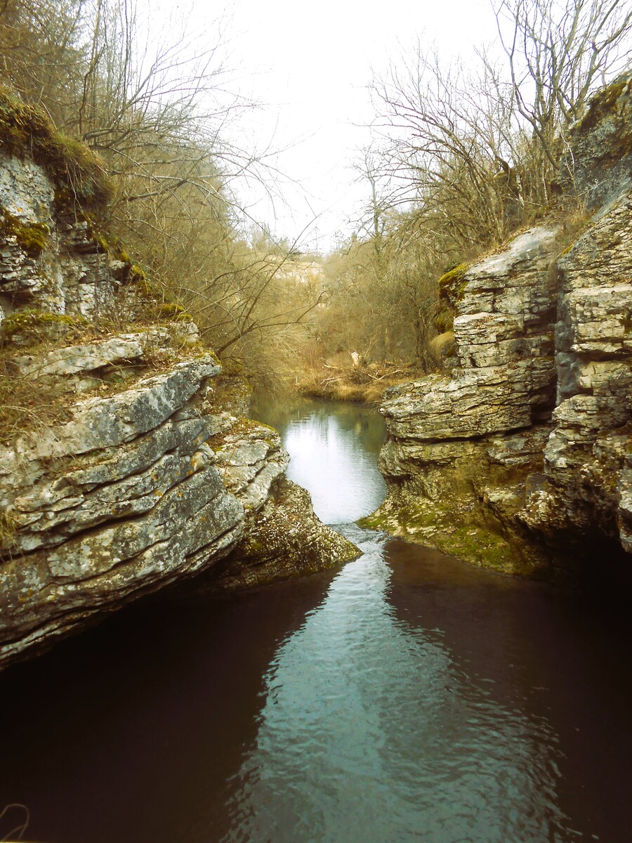
The small river passes through limestone walls, pools and small rapids.
Walking from the road toward Ponora, I step on layered grasses, now dry, and right before my eyes a battered sign pops up. With a little information.
What is a ponor?
The folk synonym scaffold suggests the name.
In geology, a ponor is a karst formation – a swallow hole. It is a vertical or nearly vertical shaft or chimney that opens onto the earth's surface and typically swallows permanently flowing rivers and streams or surface water that accumulates temporarily during intense rainfall.
The sinkhole gives rise to an underground river which, passing through subterranean cavities and tunnels, emerges to the surface again with a large flow rate.
In this case, Ponora is a water cave in limestones. It is a permanent swallow hole for the Lilyashka River, with over 3.4 km of explored galleries and water flowing through the system.
The underground river has small waterfalls, as well as a series of narrow, long lakes, in places very deep. The last lake and the river end with a siphon, the water of which flows into the picturesque karst spring of Zhabokrek.
The cave is dotted with stepped barriers, stalactones, stalagmites, and stalactites. The most famous of them are „The Big Waterfall“, „The Castles“, and „The Atomic Explosion“.
It was discovered in 1960, explored and mapped in 1961, and declared a natural landmark in 1963.
The cave itself is in the underground river, with a lake – years ago, divers tried to explore it. Imagine tens of kilometers of galleries, water, and niches. It must be beautiful, but dark and deep.
The water was freezing.
Now back: we are heading towards the river's source. Here it does not sink into the karst, but calmly flows from the spring towards the cave.
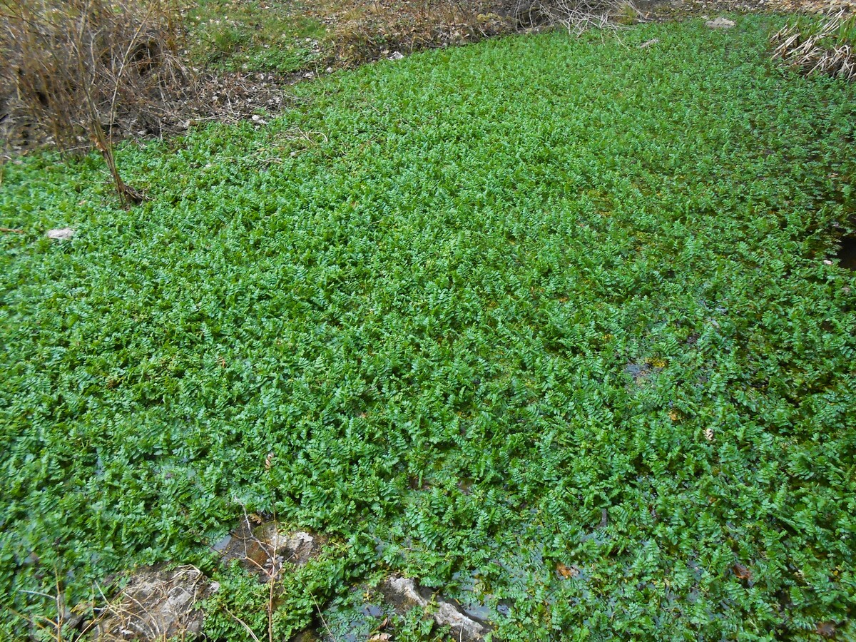
The karst plain ends with the spring of Zhabokrek, which is intensely green even in the dead of winter. There were no frogs yet... but from the name I clearly understand that in the middle of summer this is their kingdom.
My „right“ heads toward the whirlpools of The small pan.
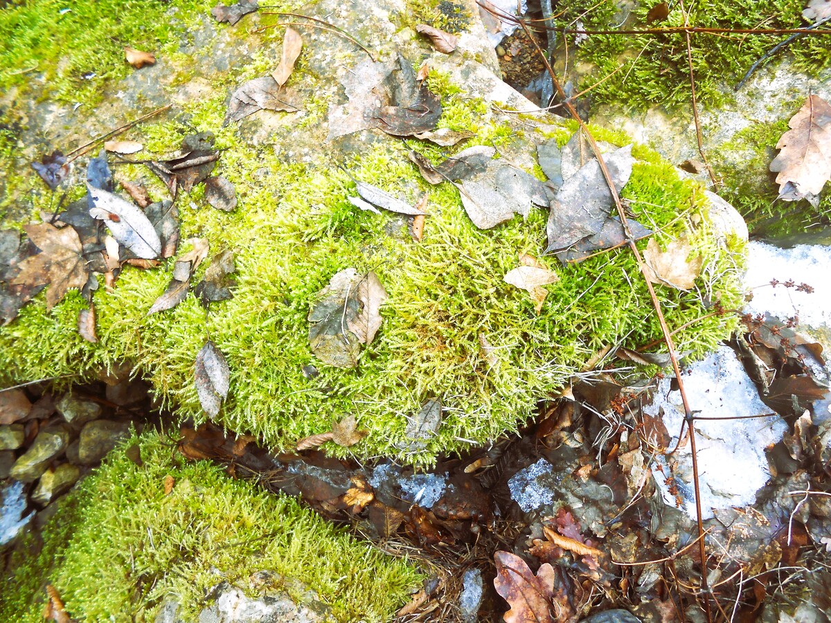
A scenic path over soft moss, frozen snow, and squeezes between bare bushes along the river leads the hiker to a picturesque cascade.
And why it is named Tiganche, probably only the locals know...
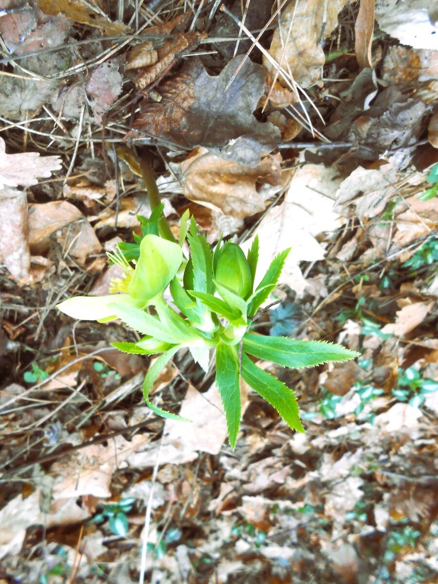
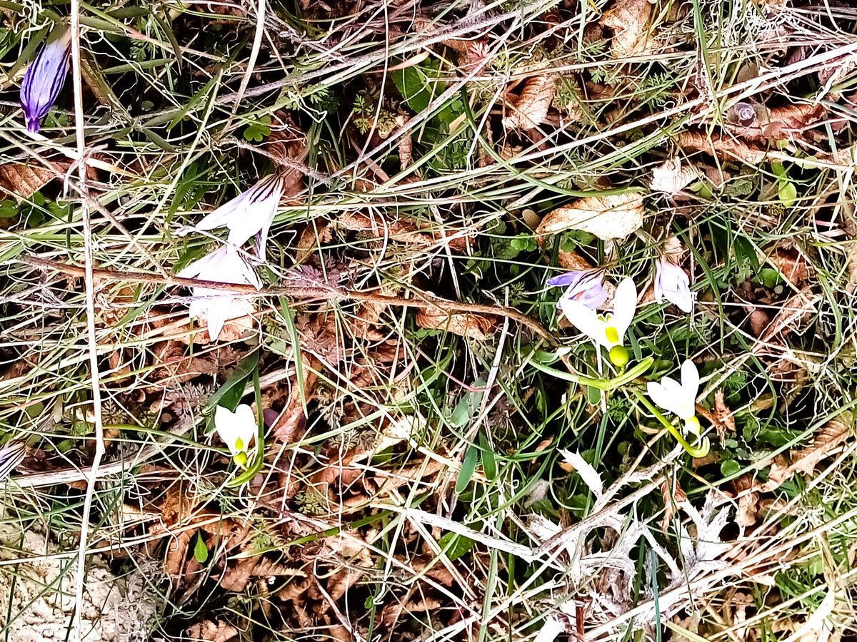
Next comes a climb and we come across the first shy colorful heralds of spring, which forgot to visit us this year.
We get carried away in a photo shoot...
Down a steep, almost impassable path, we descend towards two smooth and wide bends of the river.
Absorbed in watching where to step and what to hold onto, I don't see the view unfolding before me.
Finally, solid ground.
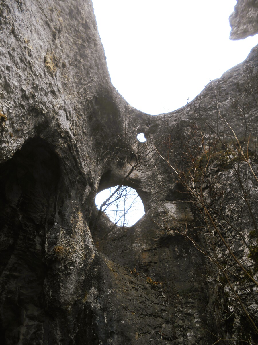
I look up and gasp—the three-legged „God's Bridge“.
God's Bridge
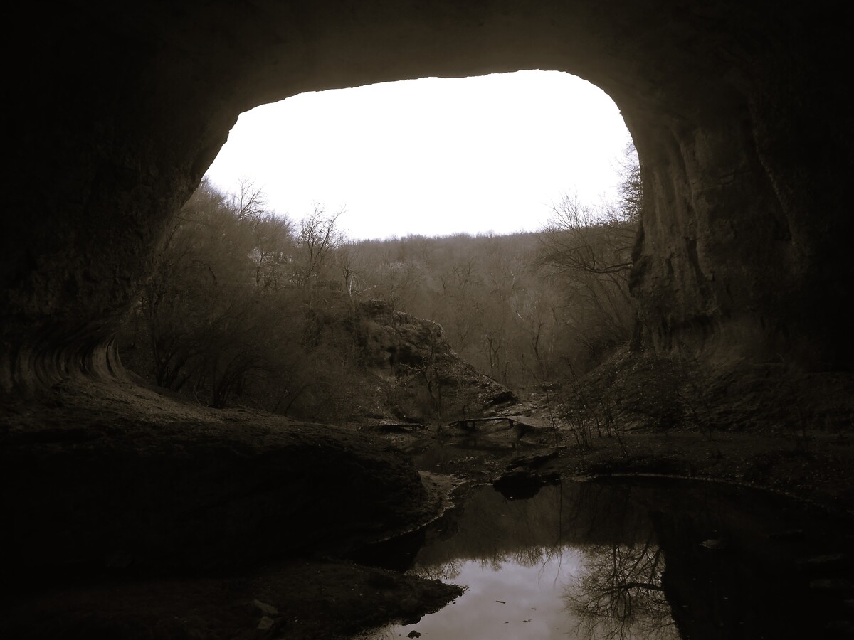
Yes, this is a natural rock bridge, however there is another arch – not the classic two.
It is about 20 meters high and about 25 meters wide, and along its main axis, the „tunnel“ formed by the Lilyashka River is nearly 100 meters long.
During the dry months of the year, the stream under the bridge dries up, leaving a few pools filled with frogs. That is where the other name by which this rock phenomenon is known comes from – Zabokrek.
Clearly, the name is popular around these parts.
The bridge was declared a natural landmark in 1964.
God's Bridge: Geology
The God's Bridge is an imposing natural phenomenon in terms of size and beauty, which, from a geological point of view, belongs to the Western Pre-Balkan.
Let us imagine that just a mere 120 million years ago, the waters of today's Lilyashka River – a small right tributary of the Botunya River – were an underground stream.
Over time, erosion contributes to the uncovering of the cave by eating through openings in the ceiling.
Many karst landforms resembling bridges are formed. After the subsequent collapse of their vaults due to erosion, the already exposed cave turns into a river valley.
Part of the vault and walls remain preserved.
The current appearance of the natural phenomenon began to form tens of thousands of years ago.
Its layers, which dip gently beneath the surface, are known as the „Upper Urgonian Limestones“ and the „Upper Orbitolina Beds.“.
You will be surprised at how accurately the time period of God's Bridge is determined.
In the upper strata there are fossils of Mesozoic marine fauna – clams, snails, sea urchins, and ammonites from the Lower Cretaceous period.
Again climbing through hills and we reach the river.
End of part one.
To be continued.
See more by the author Maria Radeva